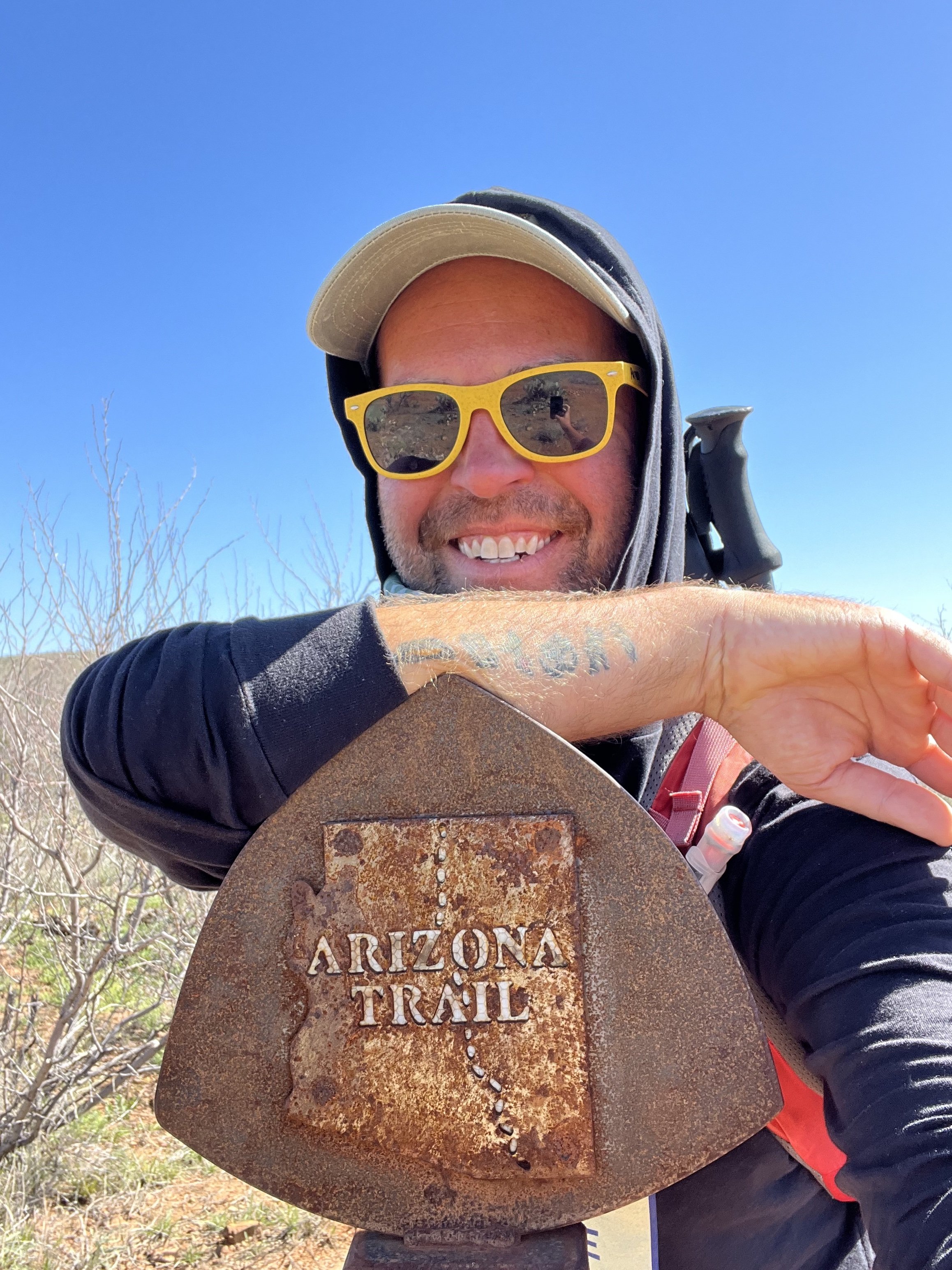
Arizona Trail Section Hike: Passages 6 and 7
The Arizona Trail runs 800 miles from Mexico to Utah through the state of Arizona. The trail is divided into 43 passages. In this article I share a 25.8 mile section I hiked in the Las Colinas and Las Ciengas areas. In this series we are covering each section I hike. I am hoping I can provide tips and insights into how you can spend an afternoon to a few days at a time on this trail that stretches from Mexico to Utah! Or for a few months as a thru-hiker! This is my Arizona Trail Section Hike Passages 6 and 7 guide, I hope you enjoy :).
IF HEADING NOBO (NORTHBOUND) PASSAGE 6 BEGINS ON Oak tree canyon road near vail ARIZONA. Passage 7 ENDS AT THE Gabe zimmerman trailhead. THE ARIZONA TRAIL ASSOCIATION PROVIDES DETAILED GPS COORDINATES AND MAPS FOR EACH PASSAGE ON THEIR WEBSITE. IT’S A GREAT RESOURCE! WHEN I HIKED THIS SECTION IN THE SPRING THERE WERE very scarce water sources (I would prepare to not have any). There were ROAD CROSSINGS SHOULD AN EMERGENCY ARISE or you want to divide this into day hikes. I HIKED PASSAGES 6 and 7 OF THE ARIZONA TRAIL IN TWO DAYS!
Arizona Trail Section Hike Passages 6 and 7 Need to Know’s:
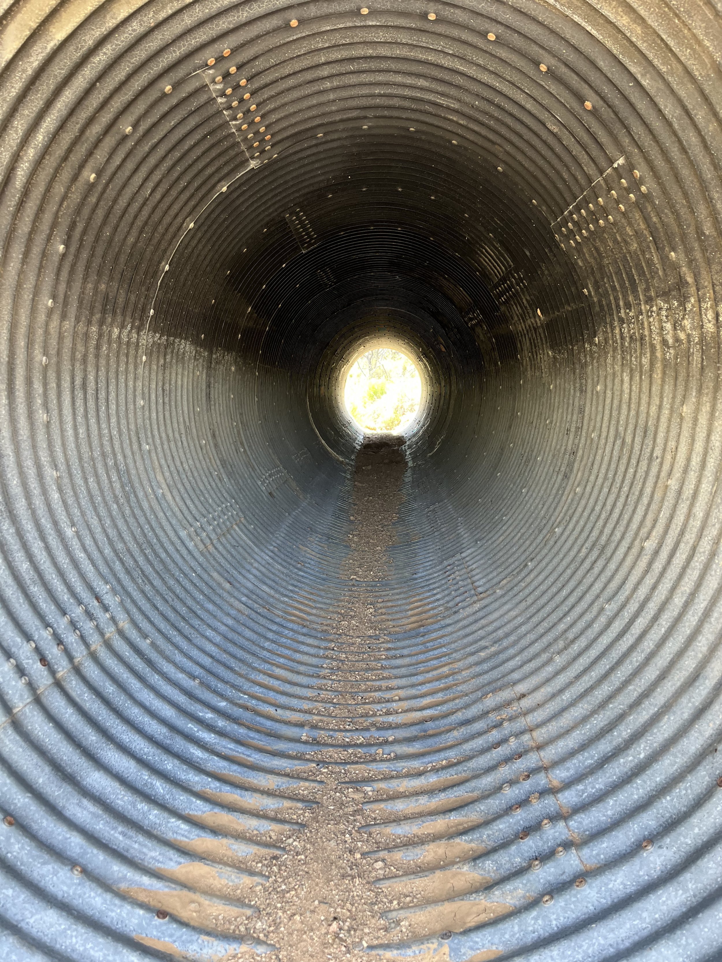
The photo above to the right is only a tunnel I photographed. Not one you need to crawl through! You will have to go under I-10 on an underpass though.
If you live in Tucson, Vail, or Patagonia Arizona this is VERY EASY to accomplish as day hikes that you don’t even need to backpack for. Driving distance from where we lived in Central Tucson is less than 40 minutes to the trailheads. I hiked SOBO parking at the end of Passage 7 and the end of Passage 6.
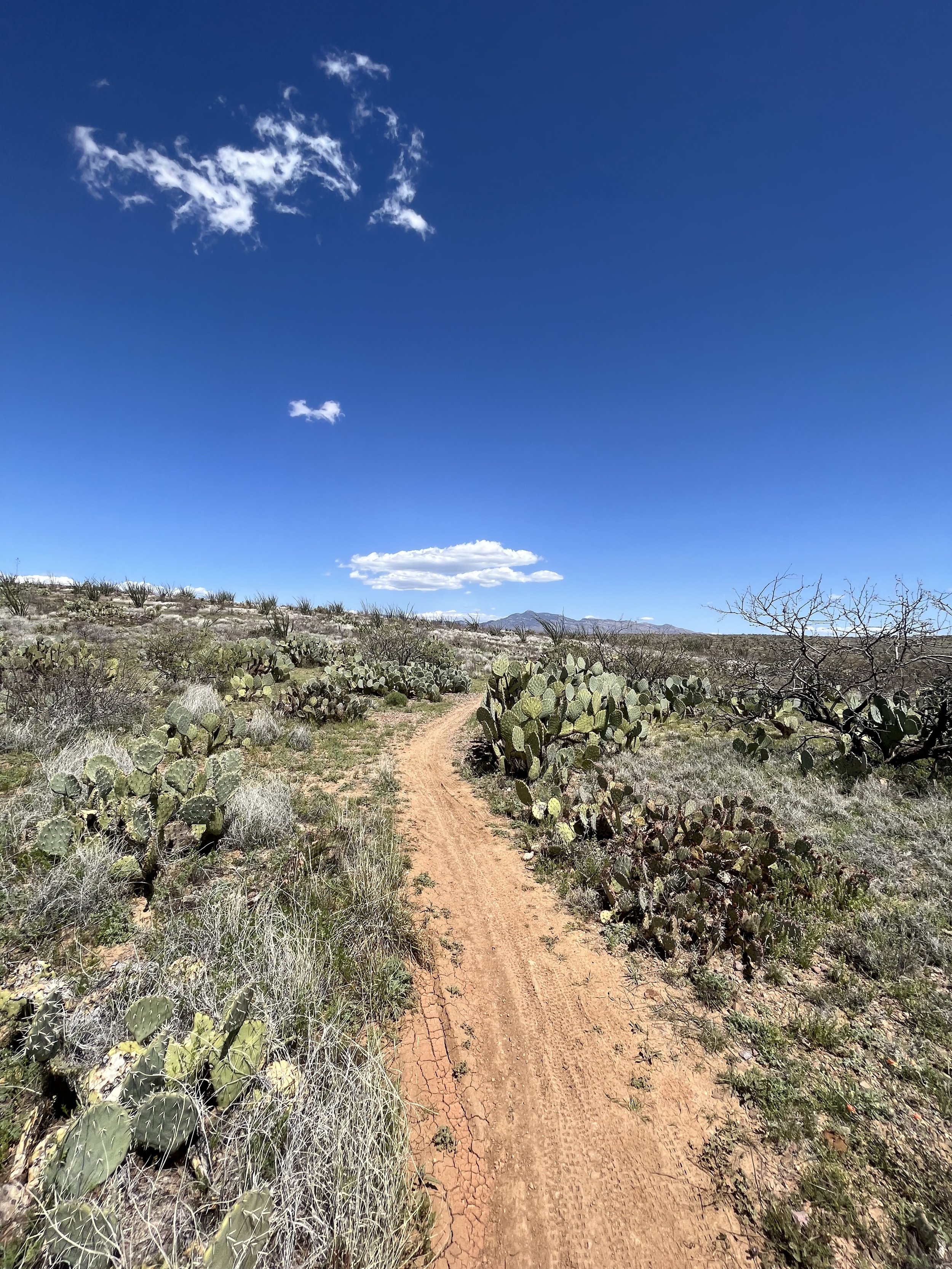
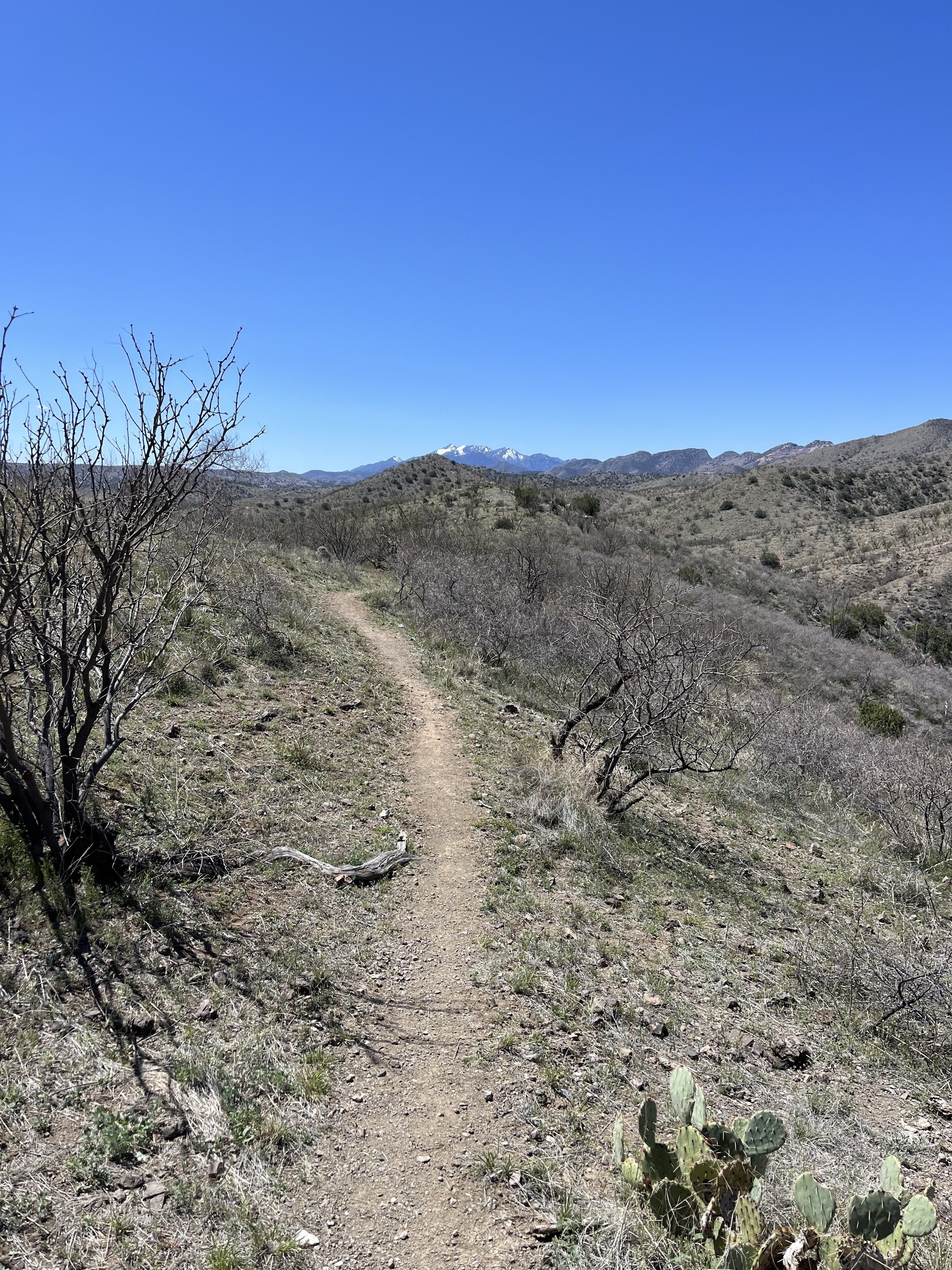
Passage 6 winds you up and down through the Santa Rita Foothills. It was a very sneaky elevation gain for my day when hiking this passage. It doesn’t hit you all at once but there’s always a little climb or descent around the corner. Passage 7 was probably the easiest passage I have hiked so far on the Arizona Trail. It’s pretty flat and heat and wind are much more of a concern than difficulty of traversing elevation.
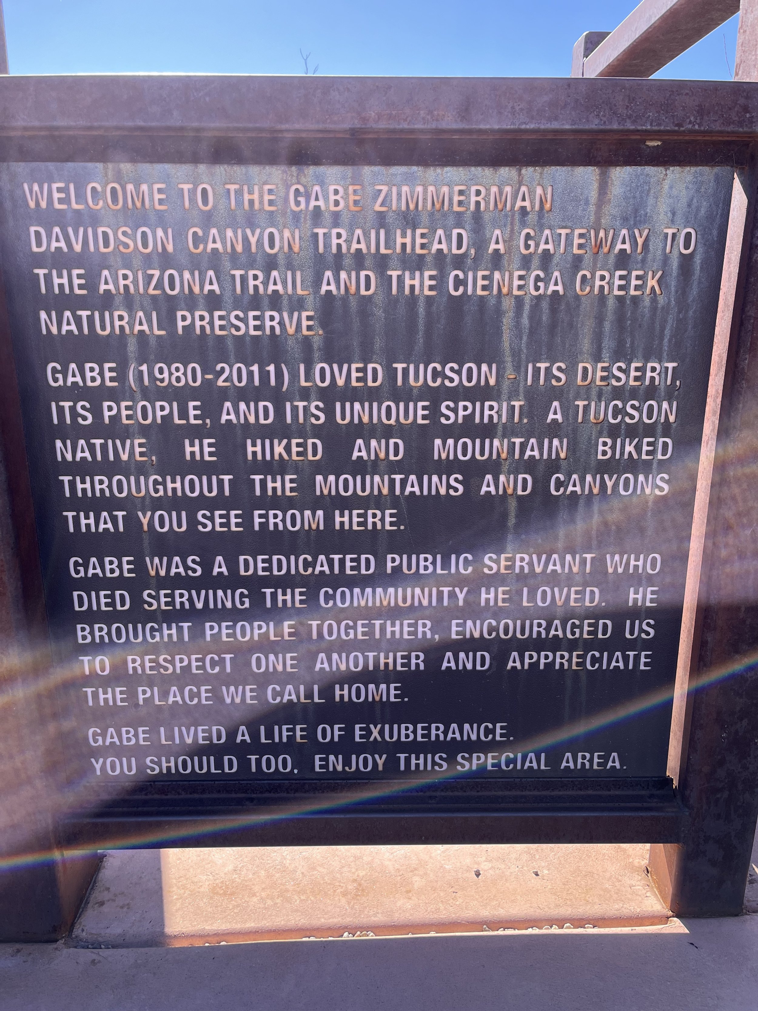
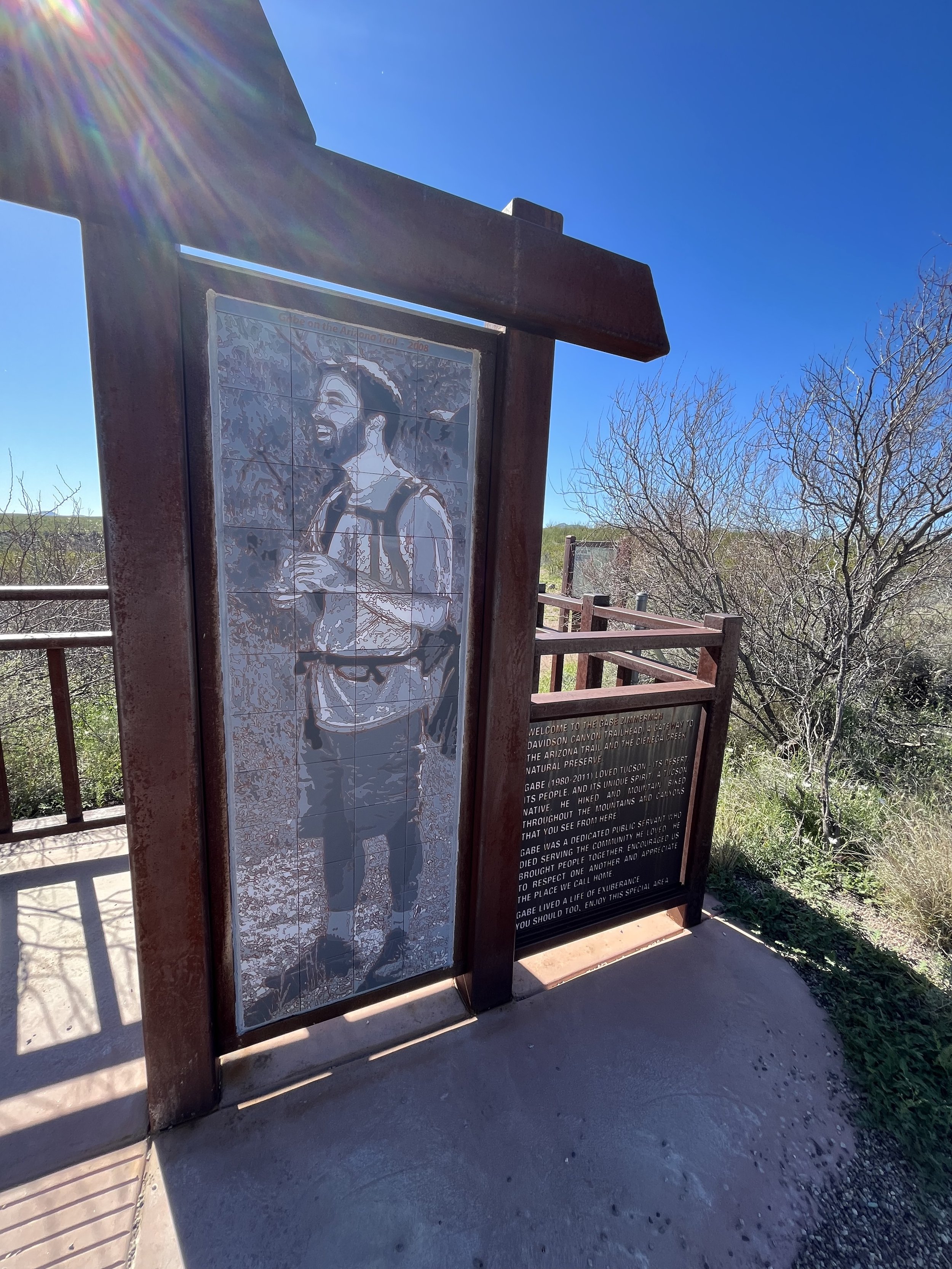
Passage 6’s closest parking is a mile walk in and Passage 7’s is .6 miles from parking. Passage 7 says 4WD Clearance Vehicles but it’s a VERY ROUGH ROAD. I would say you should also know how to drive a road like that. Permits are required to leave your car overnight in Passage 7. The end of Passage 7 at the Gabe Zimmerman Trailhead (RIP Gabe) is very accessible for vehicles and/or to leave a car.
There was also a water cache at the Gabe Zimmerman trailhead and a running water source about a mile into passage 8.
GPS and Map Coordinates for Passage 6 can be found HERE.
GPS and Map Coordinates for Passage 7 can be found HERE.
You could potentially do this these two passages in one long day getting picked up at the Gabe Zimmerman Trailhead to finish (or to start there.) It would be a 26 mile day but with nice weather and lots of water it’s doable depending on what you deem a LONG day hike!
I found little to no water sources on these two passages. I carried my own. There was one small spring that you could see the source of but it was also on cattle land and I would use only for a life threatening emergency if it were me.
What else happened that was memorable during this Arizona Trail Section Hike?
This was my first taste of the Santa Rita Mountains in Arizona! The rolling foothills only lent me the chance to realize how tough the mountain range must be to traverse. I’ll find out in Passage 5 :)!
I met several thru-hikers and enjoyed a chat underneath the I-10 underpass with Deer Lick and El Guapo. One had thru-hiked the PCT just two years ago and they had at least two decades of age on me.
Trail Magic/Angel duties performed! I gave a ride to Hot Chocolate and Spotter from the end of Passage 7 into Tucson to their hotel. They hiked on their spring break (Spotter is a teacher) from Mexico to the end of Passage 7. We had a great time connecting and another gentlemen was going to give them a lift into Tucson even though he lived in the opposite direction. And that’s the power of the Tramily, Trail Angels, and Trail Magic. We look out for each other on the trails and take care of strangers. Just like I hope we all could do for each other in the “real world.” Picking up hitchhikers is easy and normal to me.
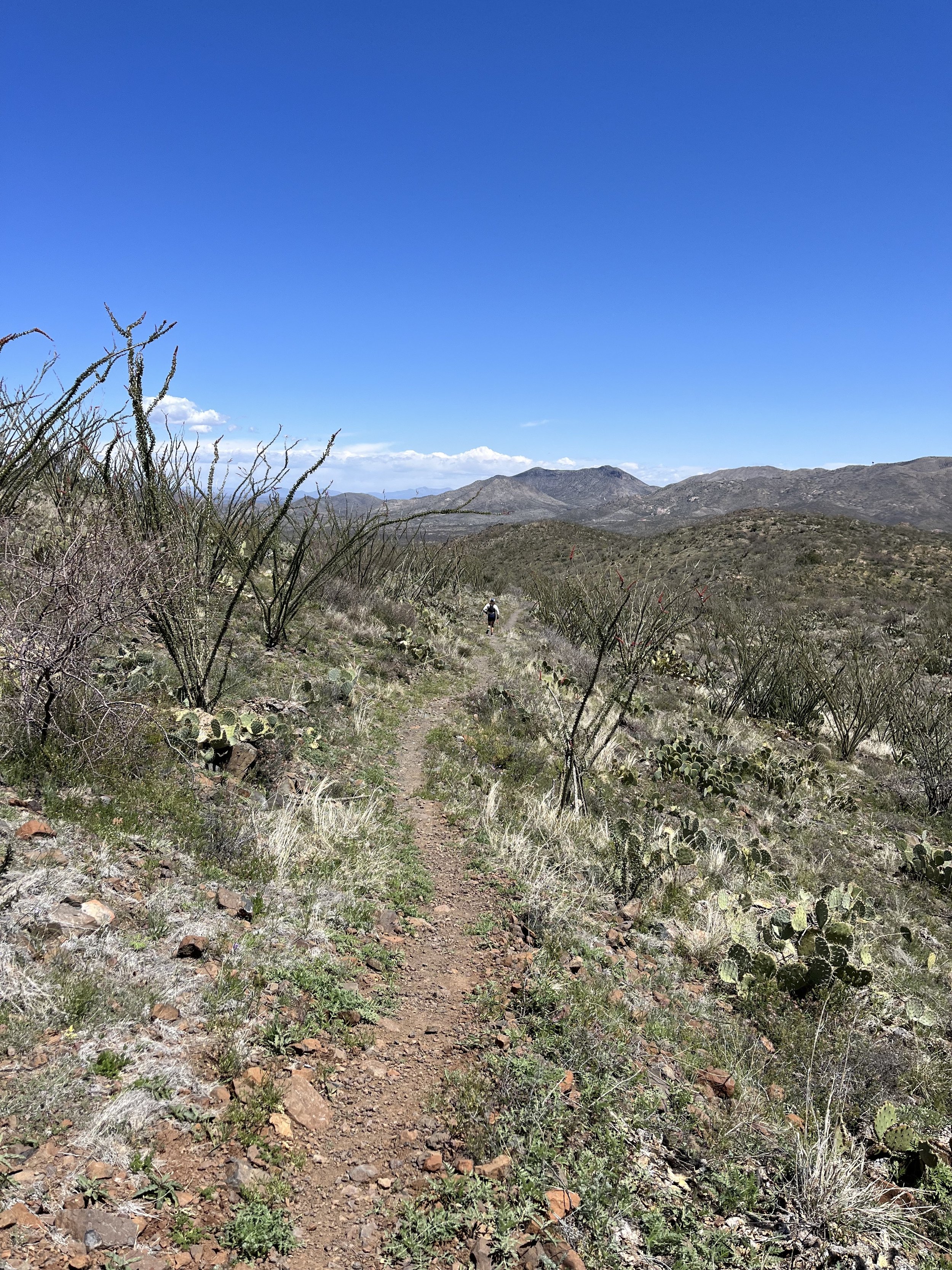
Speaking of other unique experiences! I had a woman run by me on Passage 6 and we exchanged a few lines and kind words. She told me she was running to Utah in “two weeks hopefully!” Well I started doing a little Math and realized she might be going for a record! I then met her support team at the end of my passage that day and in fact she is! She has run 200 Ultra Marathons in 200 days and is one of the greatest runners in the world. Her IG handle is HERE. I said “Good Luck” to her as she left me as though she was trying to get somewhere for lunch on time :). Her and her support team were so kind and cool to meet.
It’s a beautiful (and heart breaking) dedication to Gabe Zimmerman at the end of passage 7. He was a victim of the domestic terrorist attack on former Congress Representative Gabrielle Giffords. He was her aide and loved hiking and mountain biking this area of the AZT. Spend a few minutes and let the tears roll if they must!
The I-10 Underpass with the Rattlesnake Mural as you enter/exit the tunnel is a fine placement of art! SO COOL.
WHAT GEAR DO I USE AND LIKE THE MOST ON MY AZT SECTION HIKES?
Hoka One Kaha’s and Hoka Two GTX’s are my trusted shoes.
I use my REI 40 Liter Backpack.
Darn Tough Vermont and Merino Wool Socks from REI and SmartWool are my go to’s.
Osprey Water Bladder and Lifestraw Collapsible Filter for hydration.
I wear New Balance running shorts mainly and much prefer that to more typical hiking shorts. I also wear sun hoodies that I got from my crew at Scioto Made.
The Arizona Trail Association is a COMPLETE and comprehensive guide. Use it!
I carry a Garmin GPS and if I were to be a thru hiker I would use the Farout (used to be Guthook) App as well.
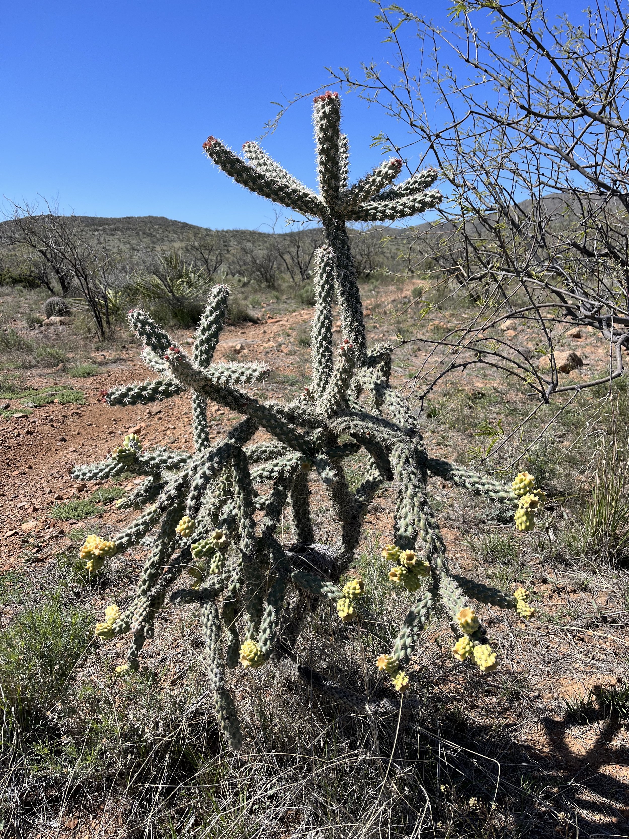
These two sections of the Arizona Trail are just flat out great desert hiking. Nothing spell bounding about them. But if you like to hike, like views of mountains, enjoy Prickly Pear, Barrel, and Octoillo Cacti then this is a great section for you. The trail never gets too steep. These are two passages that you can really churn out miles if the weather is nice and you are feeling up to that. Or it’s perfect for a morning stroll.
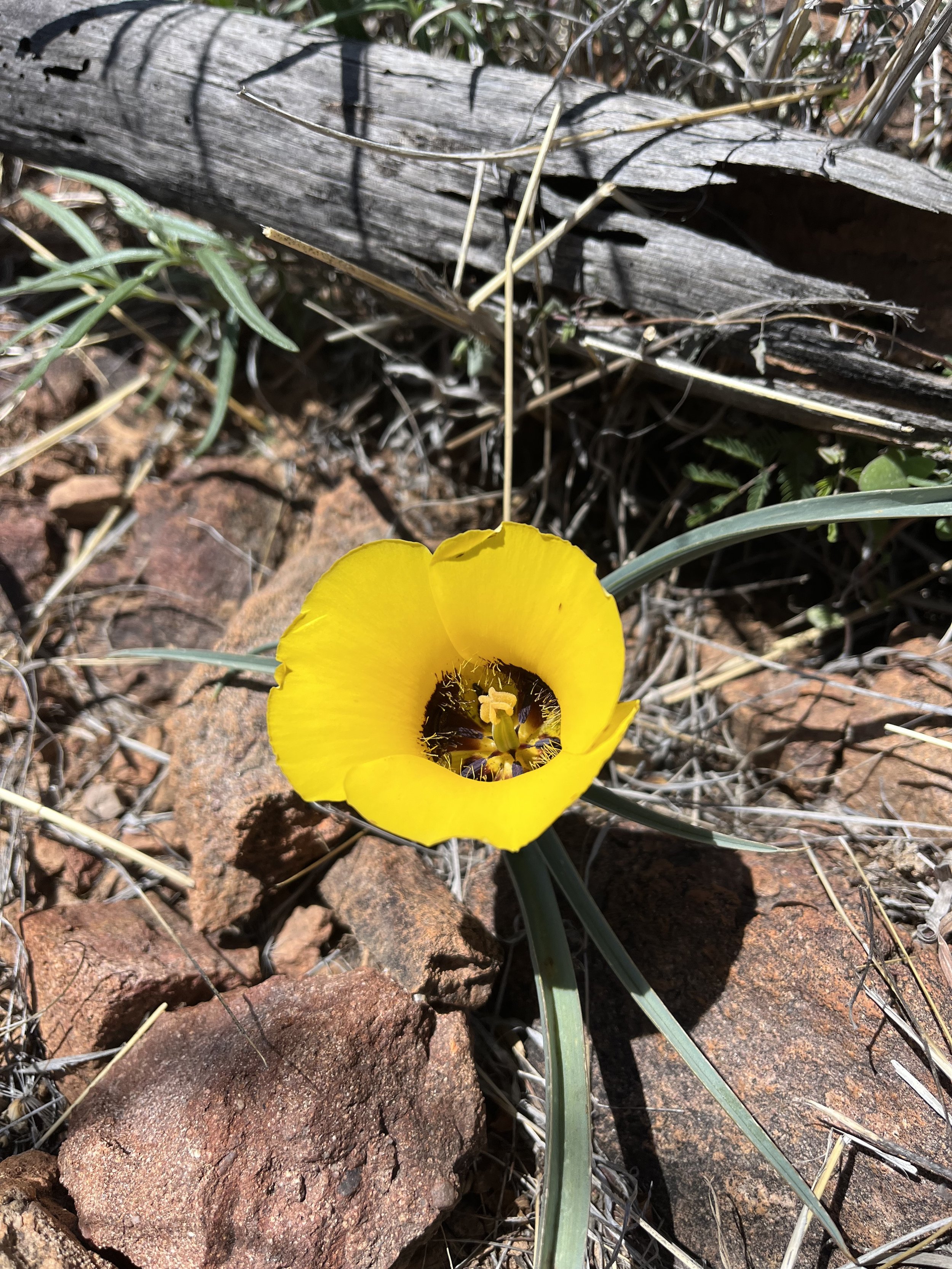
The PCT and the AT have these types of sections too. Ones that don’t get a lot of hype. Nothing spectacular but very consistent in how beautiful they are. You are traversing magical foothills while seeing mountains, wildflowers (at least in the spring), and an abundance of cacti. If you live near these sections they are easily accessible for day hikes or weekend jaunts, which is what most people have the capacity to do.
The Arizona Trail has probably bumped the whole state into my 2nd favorite state I have lived in, behind California, but sneaking ahead of Washington. The accessibility to hiking trails from the cities (and the world class cuisine) have given the state the boost. Without the AZT though I’m not sure it would have happened! Go out and explore these passages and see what the desert has to offer you.
This 25.8 mile stretch of the AZT was done on two April Wednesdays. Stashed with water, cold burritos, and dried mango. It’s a great way to see the mountains, feel the desert energy, but also get home to your bed. Have fun, prepare, and welcome to a great stretch of the Santa Rita Foothills of Arizona that surround Tucson and the approach to Saguaro National Park’s Rincon Mountain District.
Thanks for reading and happy trails to you! Whether you are planning a thru, section, or day hike…or are a trail town local, trail angel, or just someone wanting to learn more about the Arizona Trail…I hope the AZT gives you what you need! Don’t forget to Leave No Trace and pack your 10 Essentials!
Comment below with questions or your experience on hiking the AZT’s Passages 6 and 7.
Because Adventure Feeds the Soul,
Mike R

